Be the first to comment!
Digitised version of Malta’s map evolution from 1896 to 1927 available to the public
 Email item Email item
|  Print item Print item
|
|
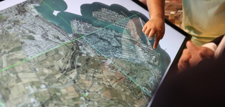
The digitised version of Malta’s map evolution covering the years 1896 to 1927, has been officially launched by Parliamentary Secretary for Public Works Omar Farrugia.
Parliamentary Secretary Omar Farrugia highlighted that this initiative, spearheaded by the Department of Public Works, demonstrates how, despite being the oldest department in the public sector, it has embraced technological innovation over the years and is committed to continuous modernisation.
Daniel Fenech, from the Research and Planning Unit, explained that this digitalisation process involved extensive and innovative research, which led to the creation of the map known as the ‘Joint Ordnance Survey of Malta 1896-1927.’
He further stated that after scanning the old maps, they were digitised using a system called Geographic Information Systems (GIS), allowing the public, professionals, and researchers to view how the map of our country has evolved over the years in a digital format.
The public can access this digital map by clicking here.
Photo: DOI