Be the first to comment!
A rare wartime Italian map of Malta donated to FWA
 Email item Email item
|  Print item Print item
|
|
An extremely rare wartime Italian military map of Malta was donated to Fondazzjoni Wirt Artna for display in one of its heritage sites and museums. This large sized map, which is dated 1941, was issued by Super Aerea – the High Command of the Regia Aeronautica (Royal Italian Airforce).
The map shows all the military objectives on the island from fortifications, gun batteries, military camps, machinegun positions, signal stations, airfields, naval installations and much more. It also carries a highly detailed list of all place names in Malta. The map was issued for joint Italian and German use; hence it also includes references in the German language.
This highly important map is a distillation of Italo-German intelligence on the defences of Malta. Hence it is marked ‘Secret’ and carries the order ‘Not to be taken in the air’.
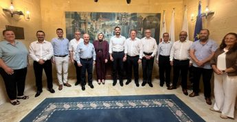
The map was presented to FWA Chairman Mario Farrugia by Fiammetta Curcio of Rome through the good services of Antione Blanchez. Ms Curcio is the daughter of Ing. Dante Curcio who during the war was an Italian air force officer employed in jamming operations directed against the RAF radar stations on Malta. Ing. Curcio was credited with the breaking of the British Identification Friend or Foe (IFF) signal emitted by British aircraft to identify themselves to the Malta-based ground defences.
The map will now be sent for expert cleaning and conservation. Eventually it will be display at the Malta at War Museum in Vittoriosa.